Boundary Surveying
A boundary survey is a necessity for buying, dividing, improving or building a structure on your land. A survey is needed to locate your boundary corners and the extents of the piece of land. If your planning involves any questioning of where your boundary lines are located, it is recommended to order a boundary survey from a licensed land surveyor.
How is a Boundary Survey Performed?
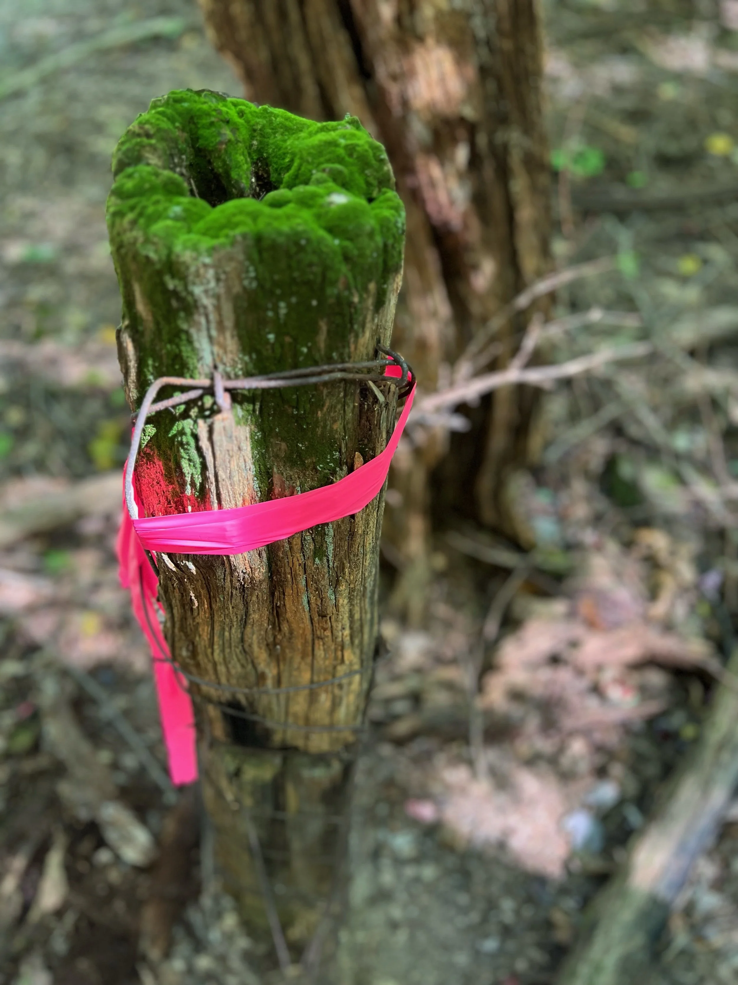
Boundary surveying at Redbird includes a detailed analysis of historical and current land records, legal research, and collecting field evidence to produce a survey of your land. Deeds, survey plats, tax maps, easements and county/municipality records are compiled and studied prior to entering the field to survey. Once the survey has been completed, a survey map is then drafted, which will include the boundary lines, fence lines, buildings, driveways and any requested information. If existing features and contours are needed, a topographic survey is recommended to compliment the boundary survey. If required, an updated legal description is written. Documents pertaining to the project will be provided to the client, and if requested to any other parties involved.
How Much Will My Survey Cost?
Your land will need to be evaluated before a cost estimate is given. Several variables such as the size of the survey, complexity, available records, access to the land, terrain, location, time of the year (weather and foliage) and available field evidence will play a role in the total cost of the survey.
If you would like to get an estimate on your boundary survey, fill out our request form and we’ll get back to you as soon as possible!