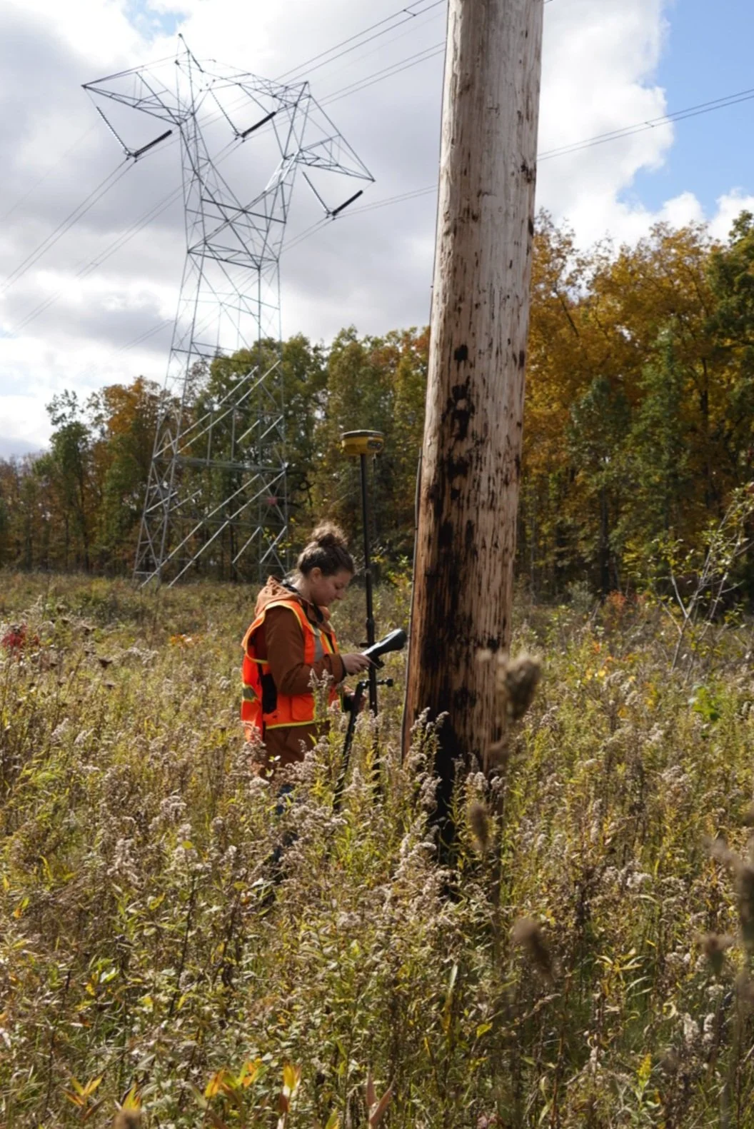
Topographic Surveying
Topographic Surveying is the mapping of all natural and man-made features of a site for its elevation and true location. Man-made features would include any buildings, structures, roads, walls, fencing, cemeteries etc. Natural features include rivers, streams, creek beds/ditches, tree lines, wetlands, rock ledges and ponds. At the request of the client, underground utilities will also be located using recorded information and (811) markings.
An example of needing a topographic survey for homeowners would be the installation of new landscaping along/near a road right-of-way, or for privacy near a property line. If you’re thinking about installing a tree line or landscaping along a property line or road right-of-way, it is highly recommended to order a boundary survey to avoid any potential conflicts with neighbors or municipal/county regulations. A boundary survey is a great complement to a topographic survey when any planning is needed near a boundary line.
How Is A Topographic Map Created?
Once collected in the field, the 3D features and data are then turned into a 2D map with contouring, symbols, linework and spot elevations. This provides critical planning data for installing/locating new utilities, feasibility studies, grading, building improvements or additions, drainage calculations, construction projects, roadway improvements, etc.
The objective of a topographic survey is to provide essential data to support engineering, architectural and construction projects with the data they need to understand the environment and existing conditions of a site before, during and/or after construction.
How Much Does A Topographic Survey Cost?
Topographic surveys require extensive data collection in the field as well as time spent in the office to organize and present the data to you in the form of a map or CAD file. The size of the project, the relief of the site and vegetation cover will be the three most contributing factors to cost. Send us a detailed message regarding your project and we will get back to you with an estimate as soon as possible.